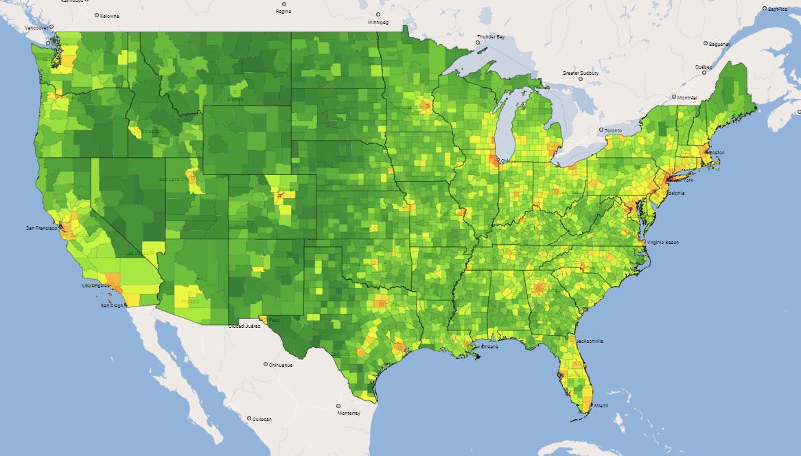
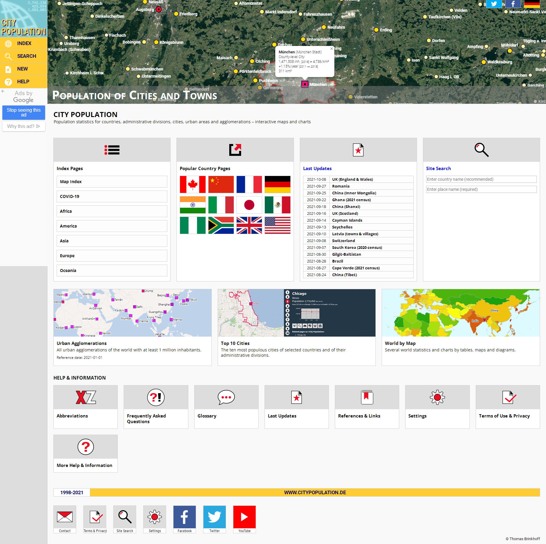
Is there a website that can express urban population data? Citypopulation.de

We found a website that can express the population of the city online, including the population data of the world, and it is still being updated. For example, we recently updated the data of UK. The data of some regions are not very new, but there are few websites with global population data. This is one. The website is: http://www.citypopulation.de

Population Data
You are free to share (i.e. to copy, to distribute and to transmit) and to remix (i.e. to adapt) the presented population data for non-commercial as well as for commercial use under the condition that ?City Population? is referenced as source as follows:
Thomas Brinkhoff: City Population, http://www.citypopulation.de (or the URL of the specific page)
Instead of labelling the URL, a hyperlink should be used by web media. In other words, the CC BY 3.0 license holds.
In addition, potential copyrights of the original sources (given in the tables' footnotes) must be observed (typically by specifying the source).
Map Data
The maps and other geospatial data are under the copyright of ?City Population? and/or under the copyright of the organizations denoted at the maps. If geospatial data under the "share alike" (CC BY-SA) condition are used, please contact me or use the original download facilities. Coordinate data of places cannot be delivered in general.
Other Data and Resources
All other data and resources, which are specific for ?City Population?, like images, programs and appearance are under the copyright of ?City Population?.
Agglomeration / Metropolitan Area / Conglomeration
(Urban) agglomerations and metropolitan areas include a central city and neighboring towns (suburbs) forming a connected region of dense, predominately urban population. Their population is economically and culturally linked to the central city (e.g., by commuters). Some agglomerations and metropolitan areas have more than one central city (e.g., the Northern Pearl River Delta or the Ruhr region). Mostly, the components of an agglomeration are small administrative divisions like communes; the gaps between built-up areas are small (e.g., less than 2km). In case of metropolitan areas, the building blocks are larger (e.g., counties or districts). Thus, the portion of rural population is typically significantly higher than for agglomerations and large gaps between built-up areas are possible. Neighboring agglomerations may be combined to a conglomeration (e.g., Randstad consisting of Amsterdam, Rotterdam and Utrecht agglomeration).
Area / Land Area
Area (A) is the total surface of a country, of its administrative divisions or of cities. It includes (non-tidal) inland water area. Land area (A-L) excludes inland water area.
City / Census City / Town / Village
Each country has its own definition what the term city means. Mostly it refers to the smallest administrative unit of a country having a predominately urban population. If a city has no legal demarcation, its boundaries are often determined for a census. Such a place is called census city or (in the USA) ?census-designated place? (CDP). Smaller cities are often called towns. Rural places are often classified as villages.
Municipio
A municipio is the smallest administrative unit of many countries in Latin America. It typically covers a relatively large area with several localites and has a high portion of rural population. Therefore, the urban population of a municipio is mostly tabulated as its city population.
Population (census / estimate / projection)
Census population (C) is determined by a census typically performed every 5 or 10 years. The first results of census are often provisional (Cp); they may be higher or lesser than the final results (Cf). Census results mostly show some underenumeration that may be adjusted by estimates (Ca). Estimates (E) are based on calculations using the current birth and death rates and the estimated migration or they are based on population registers. Estimates refer to a given time in the past. Projections (P) are calculations referring to the future; their accuracy is often poor.
Population (de facto / de jure / resident)
The de facto population is the population actually present at a given time including temporary residents and excluding residents temporarily absent. The de jure population (often also called resident population) is the legally resident population including residents temporarily absent and excluding temporary residents.
Urban Area / Settlement
Urban areas (UA) are densely populated urban regions typically linked by continuous built-up areas. They may cover parts of one or of more cities or communes; their borders do not coincide with the boundaries of adminitrative units. Therefore, urban areas have more or less inhabitants than the central city. Urban population is largely non-agriculturally oriented. Each country has its own definition of urban and rural. Consolidated urban areas (CUA) combine neighbored urban areas. Some small gaps between the areas and the inclusion of small rural areas connecting the urban areas are possible. Smaller urban areas are also called urban settlements.


